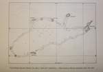
Title:
Hainan Special Administration District
Author/Publisher
Date/Year: 1964
Provider
Size: 220K
Description: The Boundaries in the South China Sea drawn by Taipei,1964
Preview 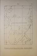 click to see big image
Title:
Position of Spratly Islands and Distance from Spratly Islands Itu Aba Island to China and Neighbouring Countries
Author/Publisher:
Date
Provider
Size: 115K
Description: The distances from Itu Aba to the neighboring Countries
Preview 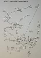 click to see big image
Title:
The Positions of South China Sea Islands 1947(?1946)
Author/Publisher: Republic of China, Sea and Land Map Committee
Date: 1935
Provider
Size: 186K
Description: Position of South China Sea Islands in 1947(?1946): Spratly Islands Dangerous Ground
Preview 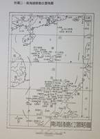 click to see big image
Title:
Boundary in South China Sea drawn by Beijing 1965: Spratly Islands & Paracel Islands
Author/Publisher
Date: 1965
Provider
Size: 240K
Description: Boundary in South China Sea drawn by Peking in 1965: Spratly Islands and Paracel Islands etc
Preview 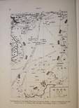 click to see big image
Title:
Major Features of Spratly Islands and their Positions and Distances
Author/Publisher
Date
Provider
Size: 71K
Description: Map showing the distances between Itu Aba and other major features of Nansha Islands
Preview  click to see big image
Title:
Occupation Status of Spratly Islands in 1999(?)
Author/Publisher
Date:
Provider
Size: 108K
Description: Occupation Status of Spratly Islands by Neighbouring countries in 1999(?)
Preview 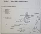 click to see big image
Title:
Spratlys and Paracels on the Admiralty Chart by Zheng He (Cheng Ho) of Ming Dynasty
Author/Publisher
Date
Provider
Size: 79K
Description: Spratly Islands (Shitang) and Paracel Islands (Changsha) on the Admiralty Chart by Zheng He (Cheng Ho) of Ming Dynasty
Preview 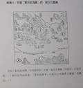 click to see big image
Title:
Spratly Islands Detailed Positions
Author/Publisher
Date
Provider
Size: 88K
Description: Spratly Islands Detailed Positions
Preview 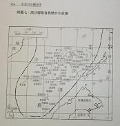 click to see big image
Title:
Itu Aba Island Map, Spratly Islands
Author/Publisher
Date
Provider:
Size: 96K
Description: Ita Aba (Taiping Dao) is the biggest among all of the Nansha (Spratly) Islands
Preview 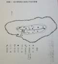 click to see big image
Title:
Tizard Bank (Spratly Islands) on British Admiralty Chart 1201
Author/Publisher
Date
Provider
Size: 146K
Description: Tizard Bank (Spratly Islands) on British Admiralty Chart 1201: Itu Aba, Nam Yit, Sand Cay
